scholarship recipients
Scholarship Winners 2021
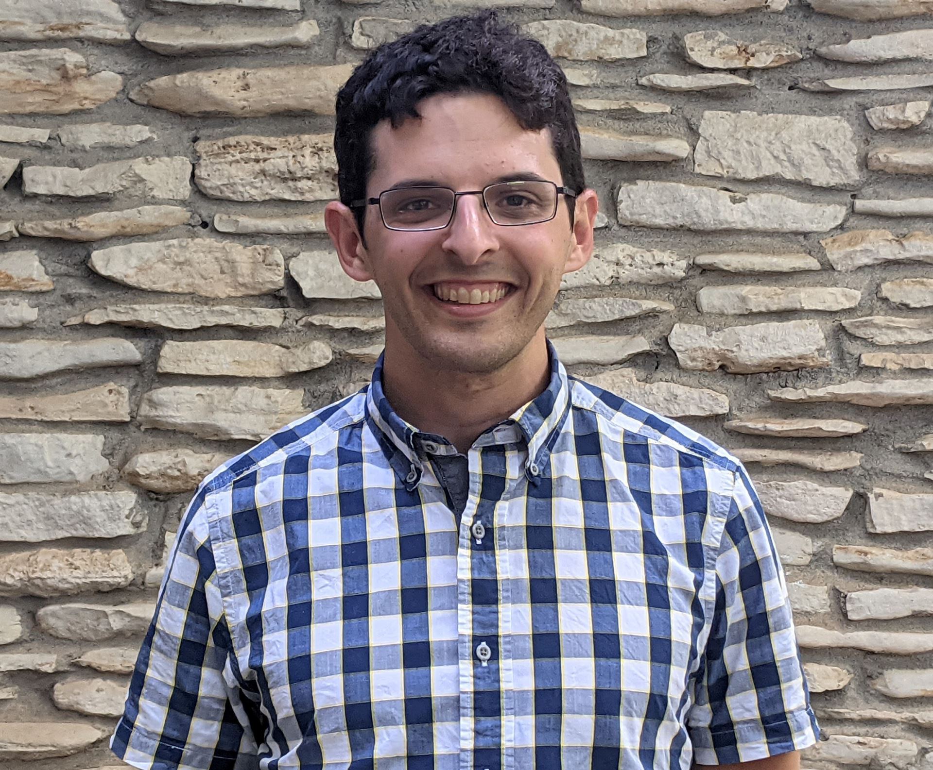
1st Place Winner: Daniel Miranda
Daniel Miranda is currently enrolled in a GIS certificate program at Austin Community College (ACC) and hopes to use it to pivot to a career in the GIS profession. He is looking to transition to a role where he can combine his passion for conservation, the environment, and outdoor recreation with his experience in database configuration and his scientific education background.
Daniel has always been a lover of the outdoors and spending time running, hiking, backpacking, cycling, and rock climbing. He also takes part in conservation work, through volunteering with the City of Austin's Wildlands Conservation Division to help maintain juniper forest habitat for the endangered golden-cheeked warbler on the Balcones Canyonlands Preserve and to maintain water quality on the Water Quality Protection Lands. While exploring opportunities, GIS came up frequently. Daniel soon realized that GIS could provide a path to pursue options that better match his interests and values.
Previously, Daniel earned Bachelor's degrees in chemistry and biology and his background includes 12 years in the pharmaceutical and medical device industry. He has extensive experience in research and development, manufacturing, equipment validation, facilities maintenance, and configuration and implementation of enterprise quality management system software built on the Salesforce platform. That software experience gave Daniel a lot of time working with relational databases, which has helped in his current introductory GIS courses. He is looking forward to combining his previous experience with databases, his interest in the outdoors, and his course work at ACC in making this career pivot.
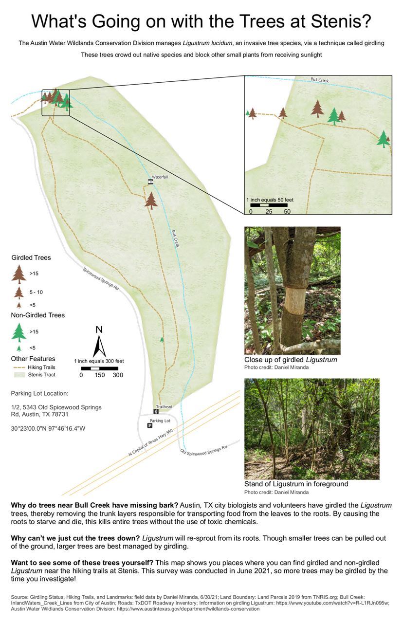
Map_DanielMiranda_URISA2021.pdf
2nd Place Winner: José Congo
José Pilartes-Congo is a graduate student of Geospatial Systems Engineering at Texas A&M University-Corpus Christi (TAMUCC). He is currently working on his thesis revolving around GNSS workflows in coastal UAS-SfM studies.
José has served as a research assistant for the Conrad Blucher Institute at TAMUCC since his undergraduate studies. During this time, he was involved in several geospatial projects. One that stands out in particular, was the creation of a web application that combines Global Navigation Satellite System technology and Tide Gauges. This application serves as a decision-making tool used to monitor and manage the rate of relative sea-level rise and land subsidence in the Gulf of Mexico. José wants to continue researching and learning more about geospatial engineering and geomatics and pursue a doctoral degree. Ultimately, he aspires to pursue a professional career as a researcher of Remote Sensing applications in disaster management and sustainable urban development.
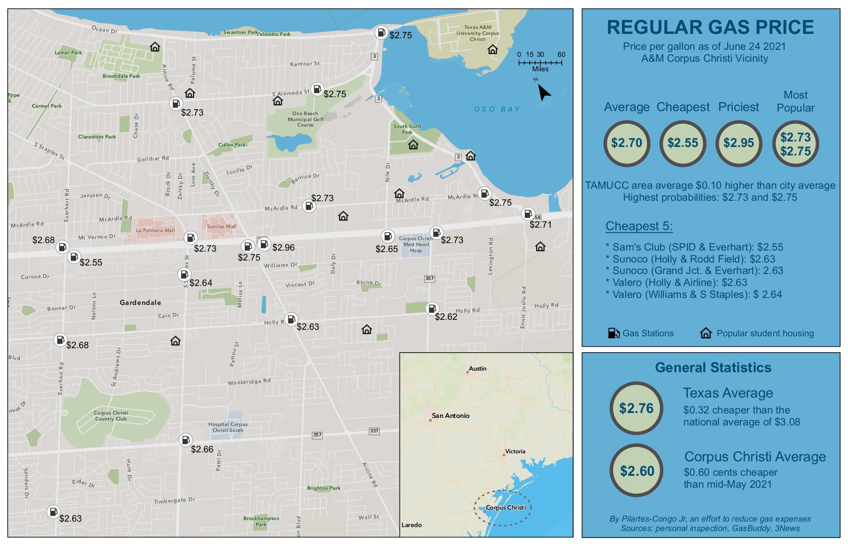
Map_Regular_Gas_Prices_in_Texas_A_M_University_Corpus_Christi_Vicinity_JoseCongo.pdf
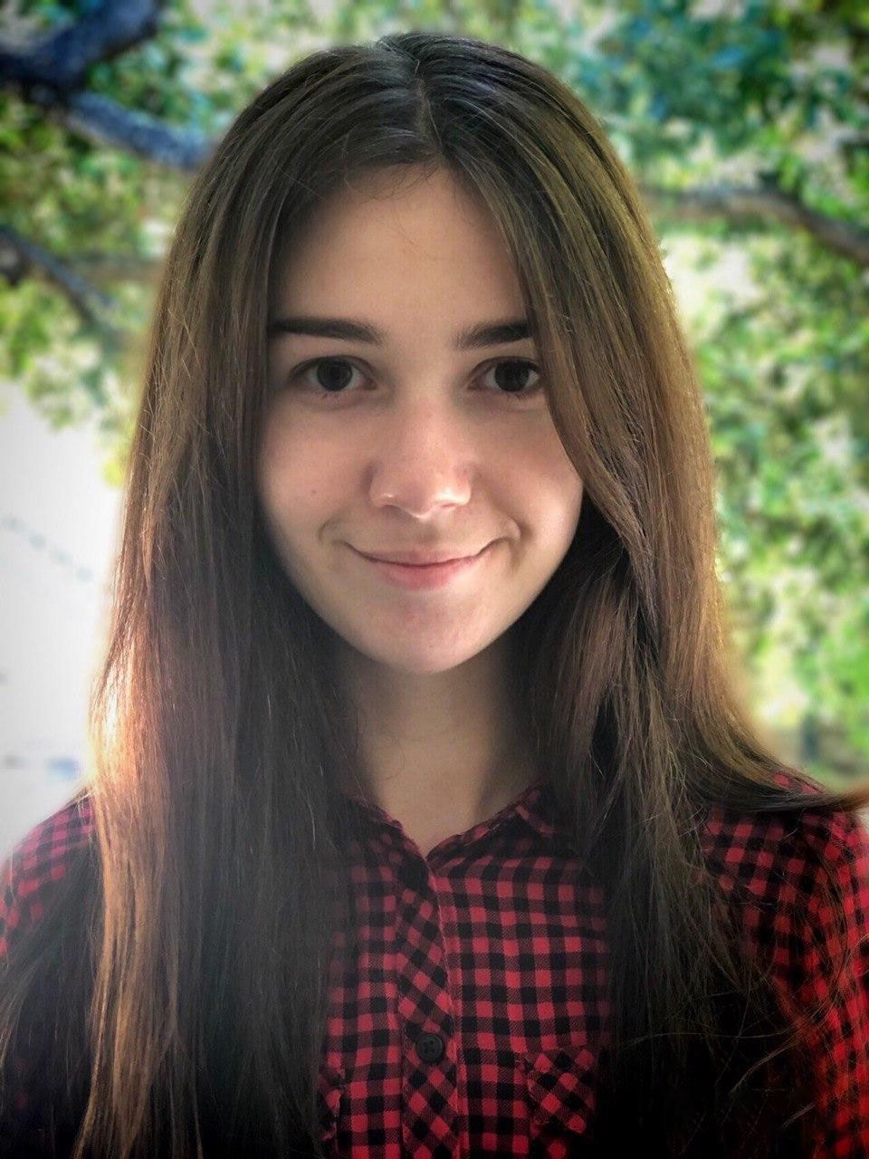
3rd Place Winner: Veronika Teiler
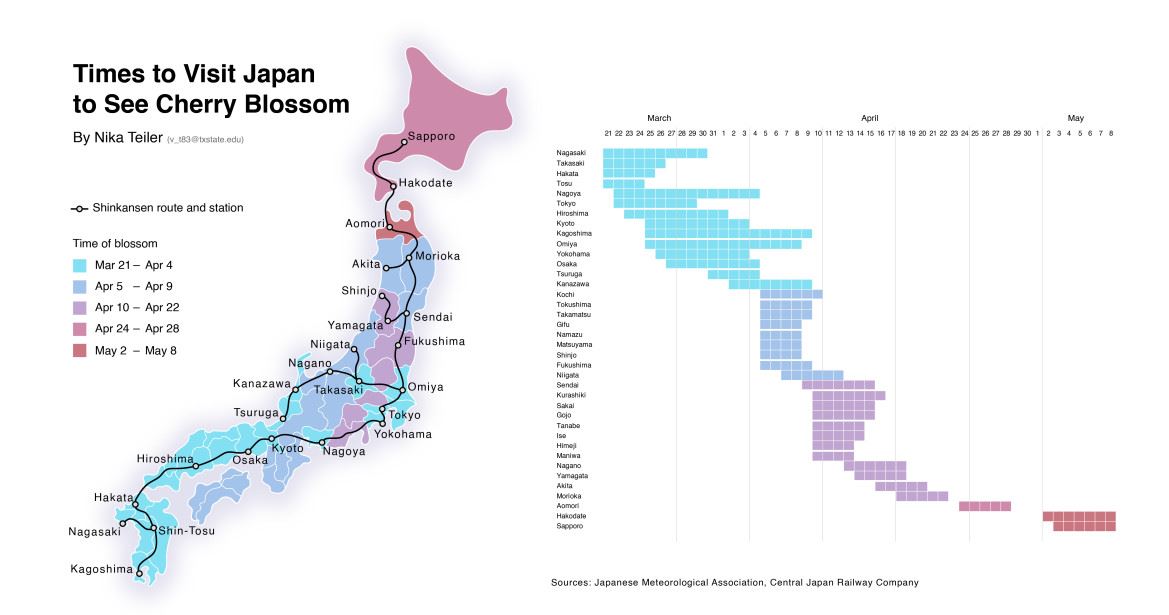
Veronika Teiler is an international student from Russia. This May, she graduated from Texas State University with a Public Health Master's degree (with concentration in Health Geography). This August, Veronika will continue her academic journey in the PhD Geography program. She is fascinated with maps and map design.
- Home
- Scholarship
- 2021 Scholarship Recipients
